Parts of North Texas saw floodwaters covering streets during the afternoon drive while others saw hail during a wave of thunderstorms Friday afternoon.
Another round of thunderstorms moved through North Texas Friday afternoon, bringing the threat of large hail, damaging winds and a few tornadoes.
A Severe Thunderstorm Watch issued for North Texas earlier Friday has since been canceled. A Tornado Watch issued for counties south of Dallas-Fort Worth has also been canceled after storms moved east and a cold front arrived.
Watch NBC 5 free wherever you are
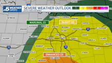
The Storm Prediction Center had the DFW Metroplex and southern North Texas under an Enhanced/Level 3 risk for severe weather but the area was downgraded at around 3 p.m. to a Slight/Level 2 risk for severe weather.
Storms were expected to develop west of the Dallas-Fort Worth area and move east through the afternoon and evening hours. A couple of stray showers are possible overnight into Saturday morning.
Get top local stories in DFW delivered to you every morning with NBC DFW's News Headlines newsletter.
Cooler air will continue to spill into North Texas as we start the weekend. Highs on Saturday afternoon will just climb into the 60s with a stout northwest wind.
LIVE RADAR
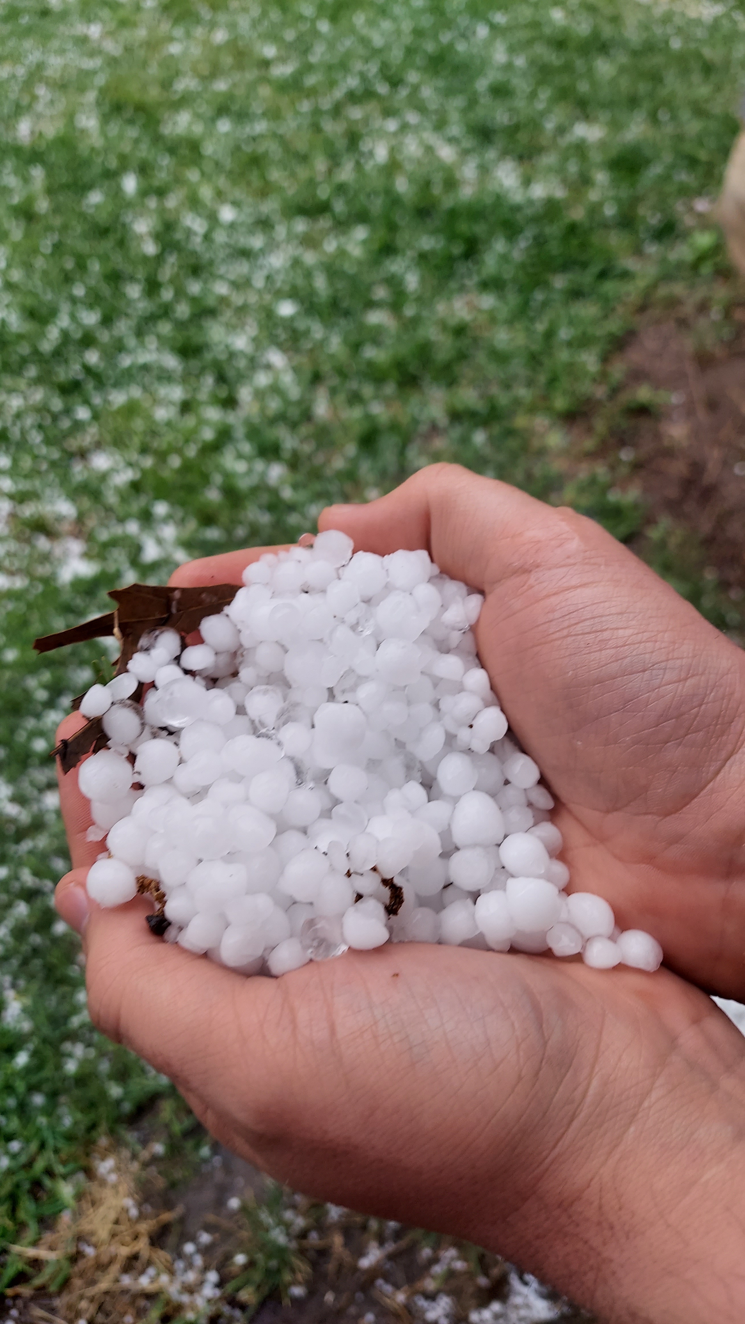
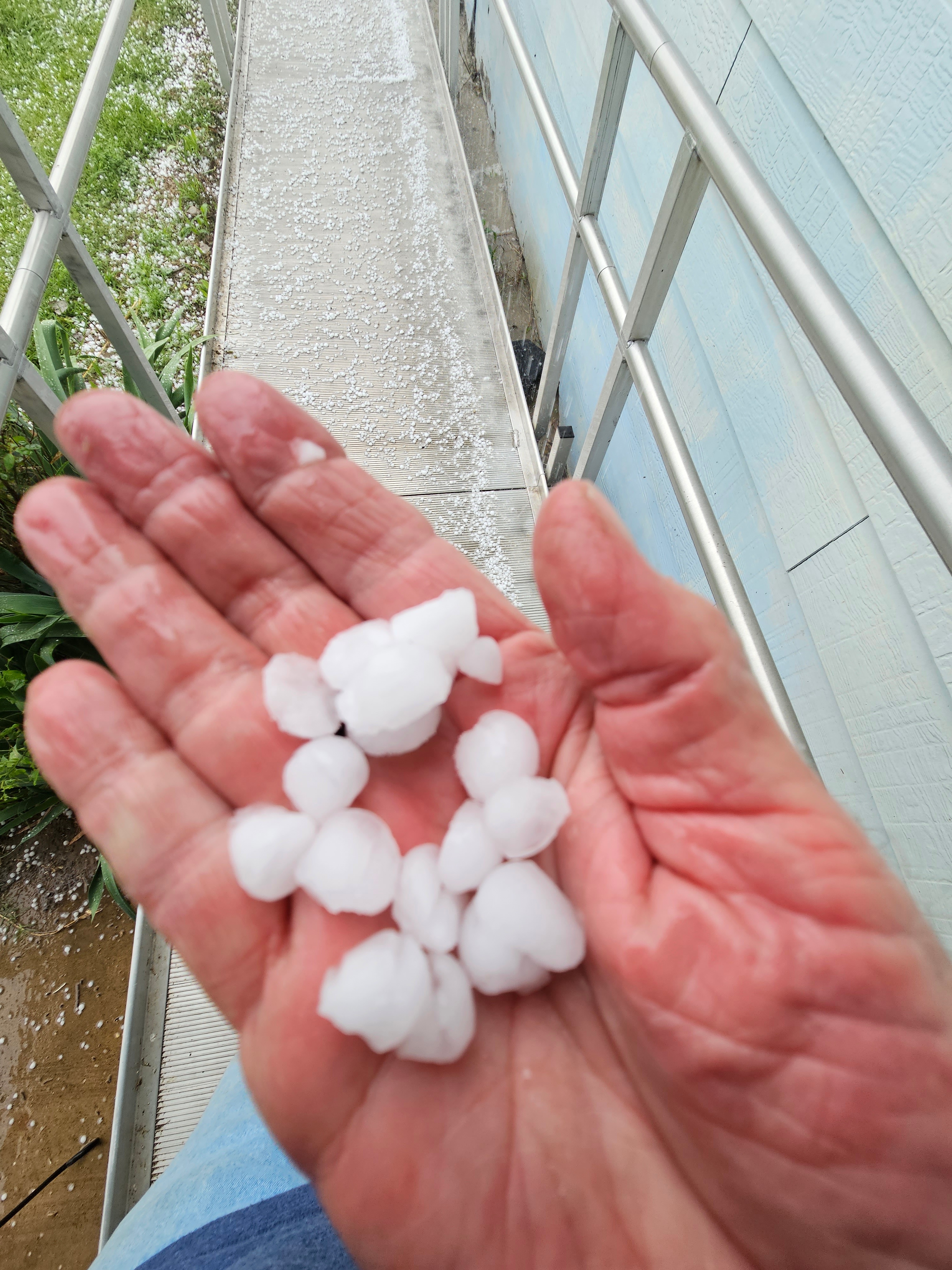
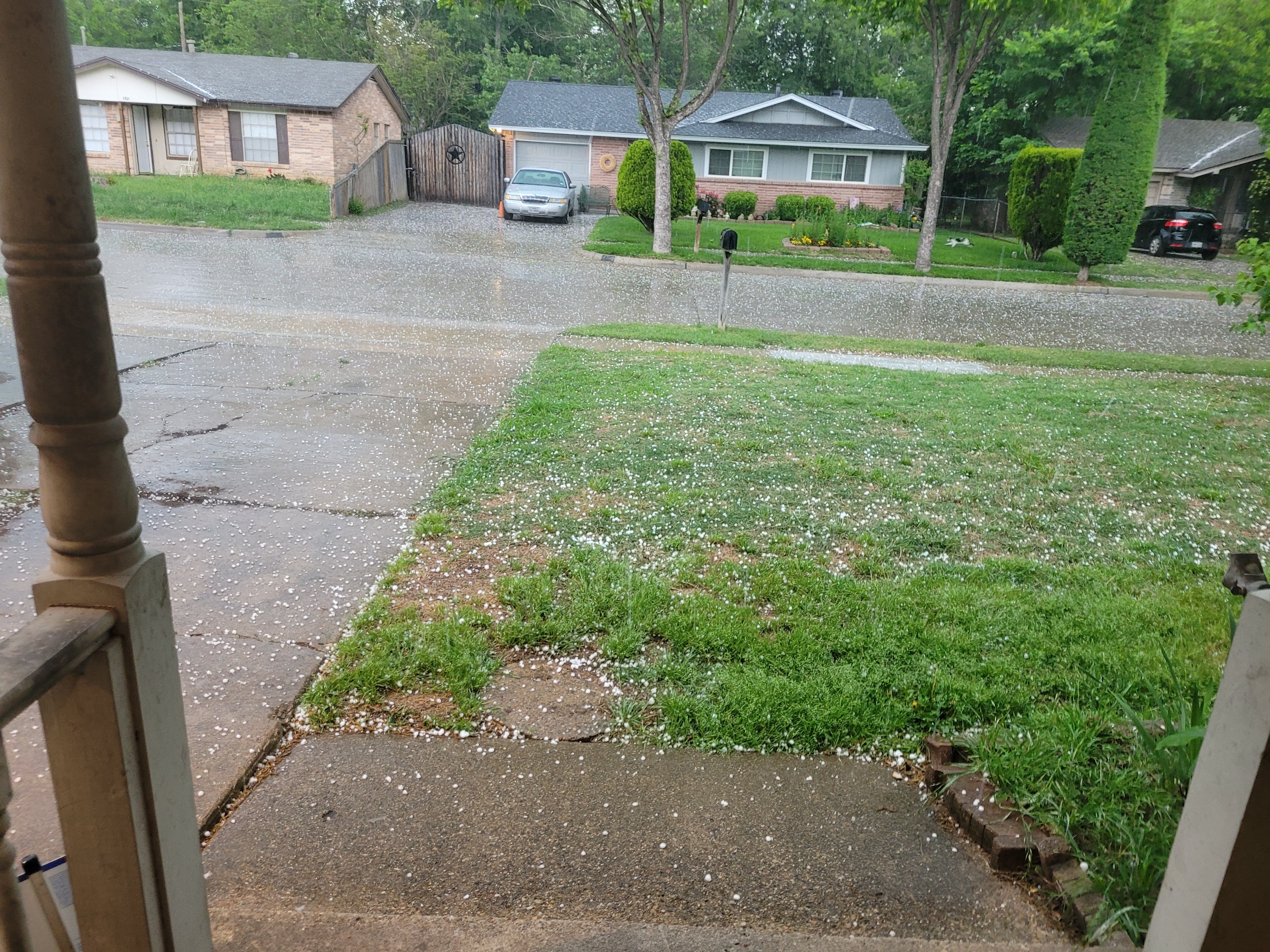
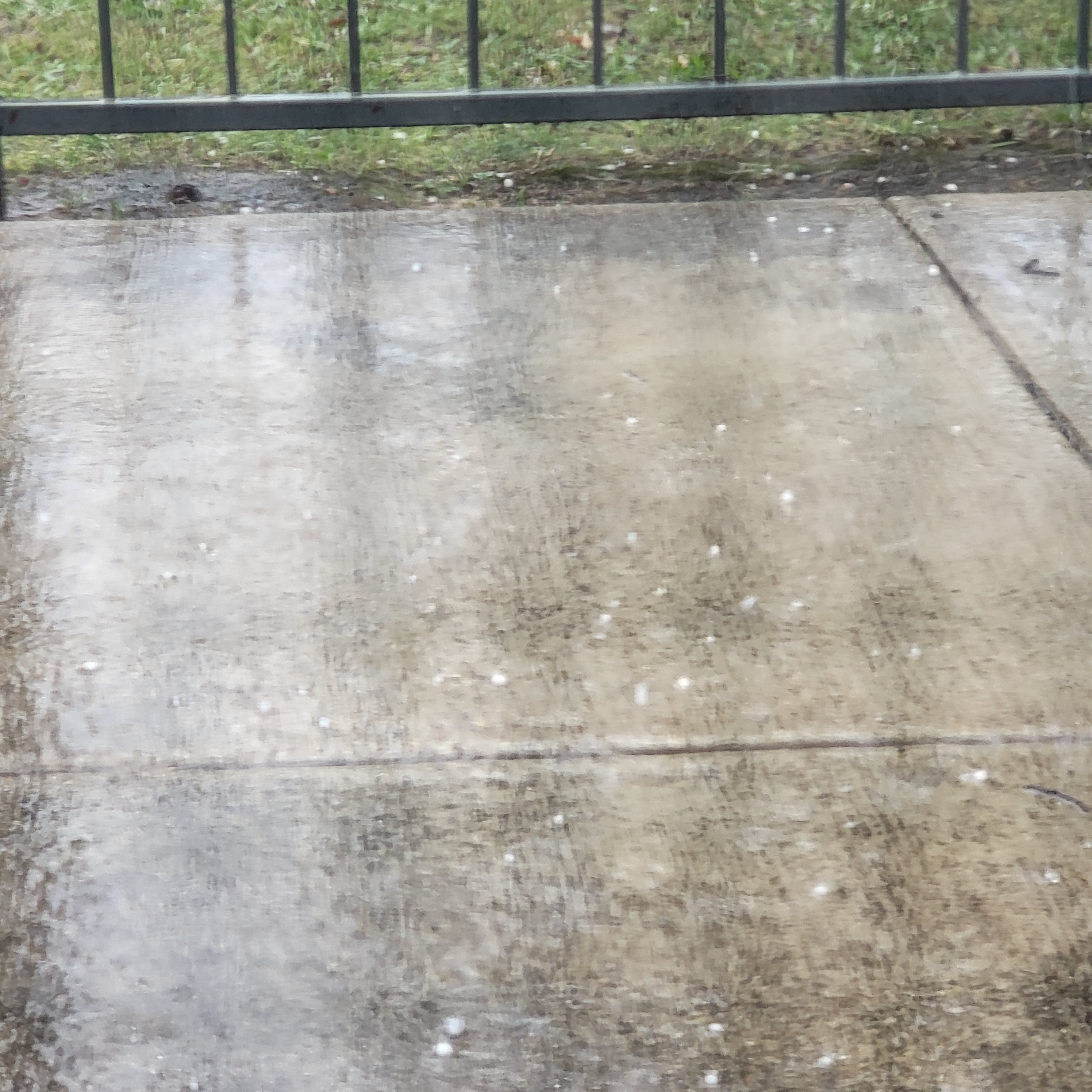
Your Hail Photos – April 28, 2023
![[tint-NBC_DFW] [EXTERNAL] Egan 4:05](https://media.nbcdfw.com/2023/04/478306.jpeg?quality=85&strip=all&fit=2494%2C3325)
![[tint-NBC_DFW] [EXTERNAL] Egan 4:05](https://media.nbcdfw.com/2023/04/478310.jpeg?quality=85&strip=all&fit=3325%2C2494)


Stay informed during severe weather season with our news and weather apps for phones, tablets and TVs. On phones and tablets, choose the breaking and weather alerts you want to receive. More details and links to app stores are here.