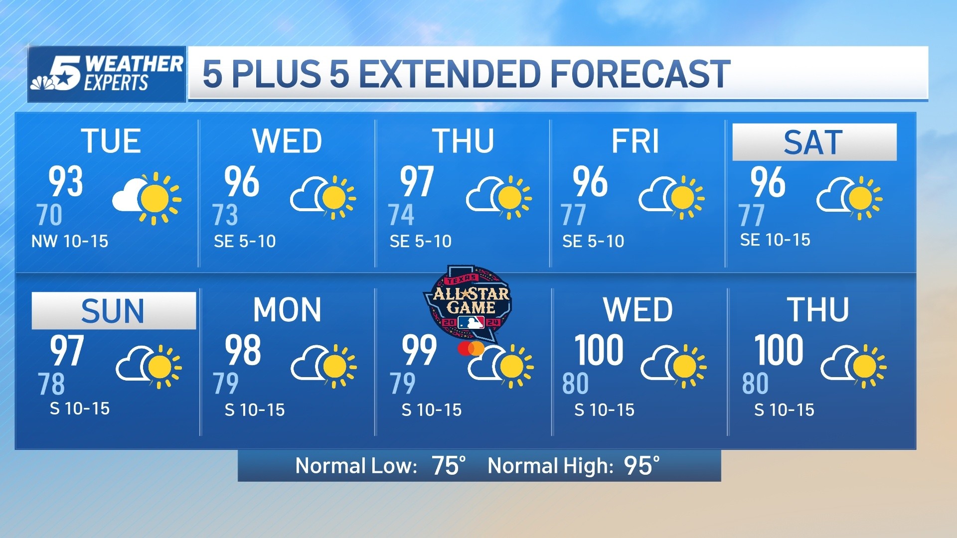
A late summer heatwave is unfolding across North Texas. High temperatures will be well above normal for the next few days with highs in the mid to upper 90s and an afternoon heat index around 100.
The cause of the heat is a strong heat dome centered over Texas into the weekend. By next week, the heat dome will weaken and shift west allowing temperatures to drop to more normal levels in the upper 80s.
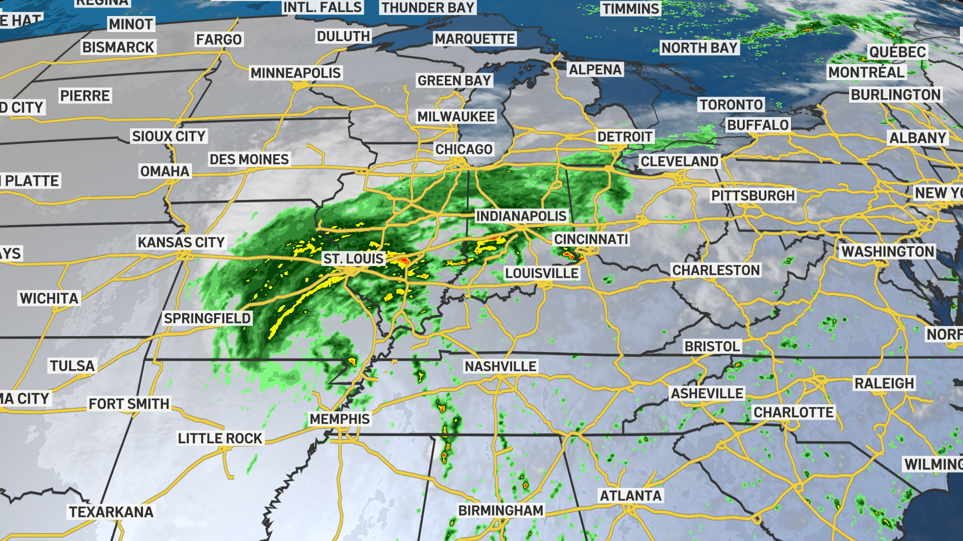
Rain chances remain slim to none in the coming days. There are signs of potential showers by mid next week, but there is quite a bit of uncertainty at this time.
Click here to see all North Texas weather alerts
Get top local stories in DFW delivered to you every morning. Sign up for NBC DFW's News Headlines newsletter.
Latest Forecast:
TONIGHT: Mostly clear and muggy. Low: 76. Wind: SE 5 mph.
THURSDAY: Mostly sunny and hot. High: 97. Wind: SE 5-10 mph.
FRIDAY: Mostly sunny and hot. Low: 76. High: 97. Wind: SE 5-10 mph.
SATURDAY: Partly cloudy and very hot. Low: 76. High: 94. Wind: SE 10-15 mph.
SUNDAY (FALL BEGINS): Partly cloudy and very warm. Low: 75. High: 92. Wind: SE 10-15 mph.
MONDAY: Partly cloudy and warm. Low: 70. High: 89. Wind: NE 5-10 mph.
TUESDAY: Mostly sunny and warm. Low: 70. High: 89. Wind: N 5-10 mph.
WEDNESDAY: Mostly cloudy. Low: 70. High: 85. Wind: NE 5-10 mph.
THURSDAY: Partly cloudy and warm. Low: 68. High: 86. Wind: E 5-10 mph.
FRIDAY: Partly cloudy and warm. Low: 67. High: 86. Wind: E 5-10 mph.
SATURDAY: Partly cloudy and warm. Low: 68. High: 87. Wind: E 5-10 mph.