The jet stream pattern remains unfavorable for any true fall weather through Sunday. However, very dry air is resulting in low humidity, which give us a slight taste of fall. The problem though, is that this low humidity is also raising concern for grass-fires.
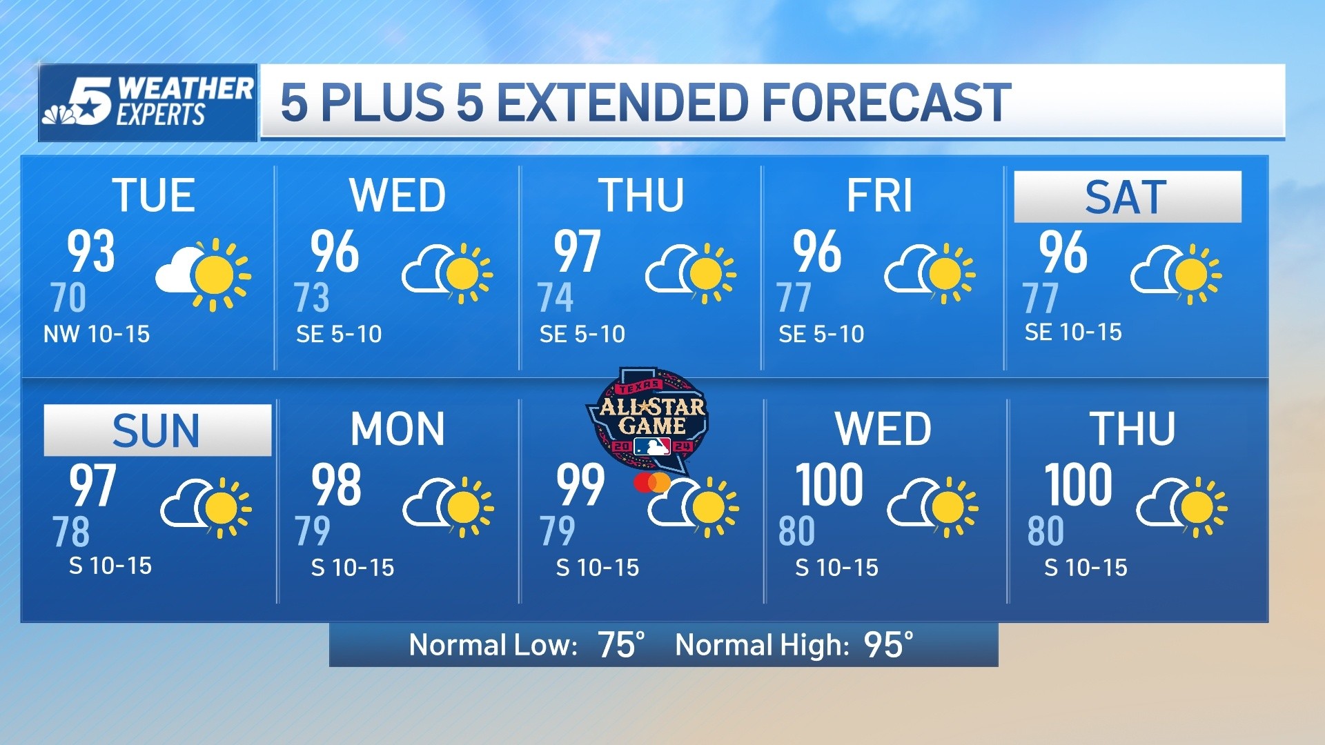
This warm and dry weather pattern will continue for the next several days.
The jet stream pattern remains unfavorable for any true fall weather through Sunday. However, very dry air is resulting in low humidity, which give us a slight taste of fall. The problem though, is that this low humidity is also raising concern for grass-fires.
High temperatures will stay above normal this week into the weekend with most locations climbing into the upper-80s to around 90 degrees. Weekend highs will be in the lower 90s, possibly mid 90s in some locations, which would be close to record highs for this time of year.
A strong fall cold front will move through North Texas Sunday night bringing in cooler weather, but unfortunately no rain. Highs next week will be in the 70s for several days.
Get top local stories in DFW delivered to you every morning. Sign up for NBC DFW's News Headlines newsletter.
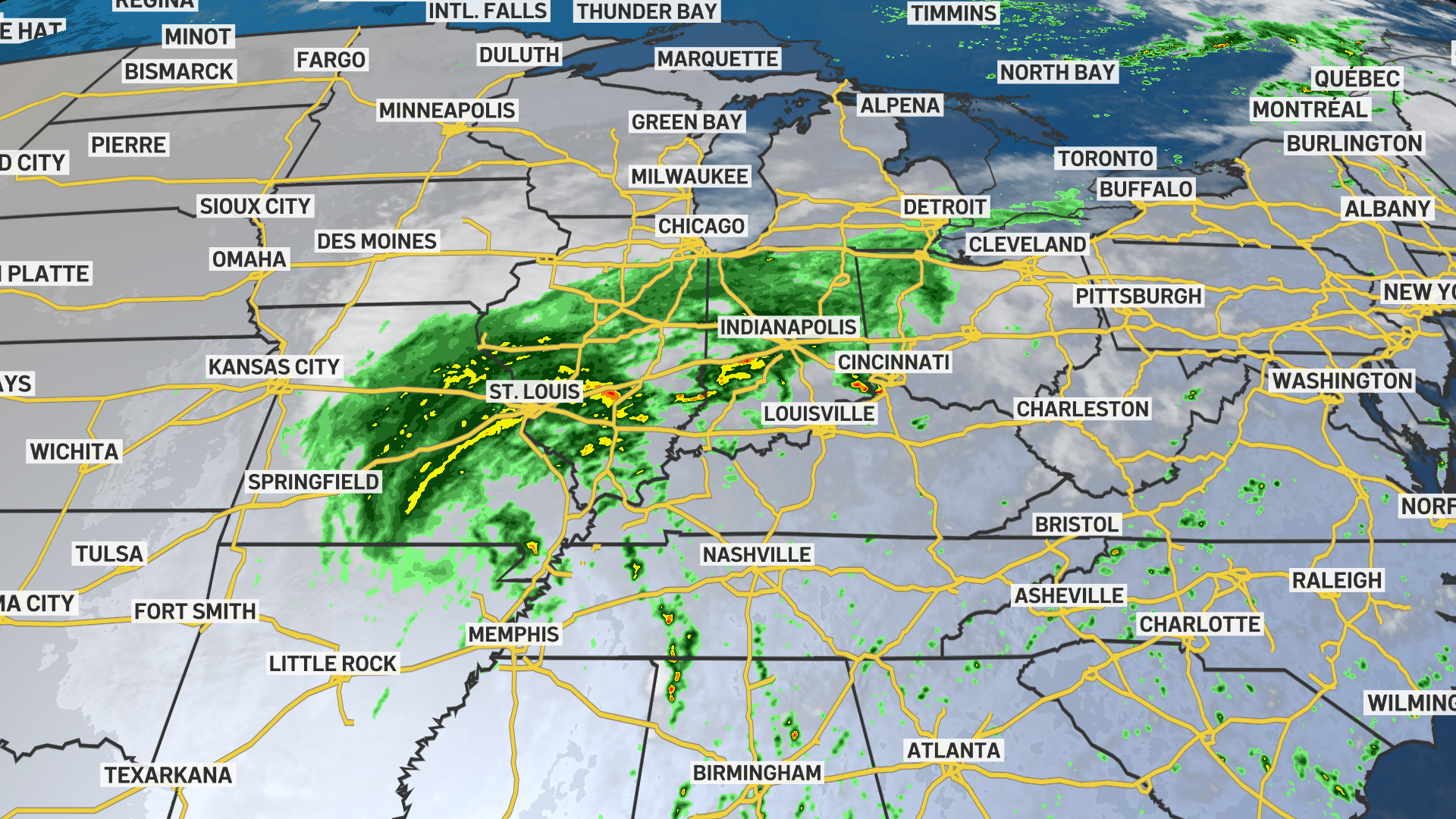
Click here to see all North Texas weather alerts
Latest Forecast:
THURSDAY: Sunny and very warm. High: 89. Wind: SE 5-10 mph.
TONIGHT: Clear. Low: 65. Wind: SE 5-10 mph.
FRIDAY: Sunny and very warm. Low: 65. High: 91. Wind: SE 10-15 mph.
SATURDAY: Mostly sunny and hot. Low: 66. High: 94. Wind: S 10-15 mph.
SUNDAY: Mostly sunny and hot. Low: 68. High: 96. Wind: SW 10-15 mph.
MONDAY: Mostly sunny and cooler. Low: 63. High: 86. Wind: N 10-15 mph.
TUESDAY: Mostly sunny and pleasant. Low: 57. High: 76. Wind: NE 10-15 mph.
WEDNESDAY: Mostly sunny and seasonably warm. Low: 53. High: 75. Wind: E 5-10 mph.
THURSDAY: Mostly sunny and seasonably warm. Low: 55. High: 78. Wind: SE 5-10 mph.
FRIDAY: Mostly sunny. Low: 59. High: 82. Wind: SE 5-10 mph.
SATURDAY: Partly cloudy and warm. Low: 62. High: 82. Wind: SE 5-10 mph.