S Band Radar & Maps | Forecast | Weather Alerts
Traffic | Send Us a Photo/Video | Live Cams
We’re keeping a close eye on the Gulf of Mexico and on major Hurricane Florence in the coming days.
A disturbance in the south-central Gulf of Mexico will move northwestward the next few days. The National Hurricane Center now says there’s a 60 percent chance that a tropical depression could form on Thursday or Friday while the disturbance moves across the western Gulf of Mexico.
This could potentially bring heavy rain and flash flooding to parts of Texas through the weekend.
Rain chances across North Texas will range from 20 to 30 percent through the weekend. Given the rich moisture, scattered to numerous showers will likely develop, impacting primarily our southern counties.
Meanwhile, Hurricane Florence is expected to bring catastrophic impacts to the Carolinas Friday, possibly with category 2 or 3 winds. It could possibly stall and bring copious rain and flooding to the Carolinas and the Virginias.
Local
The latest news from around North Texas.
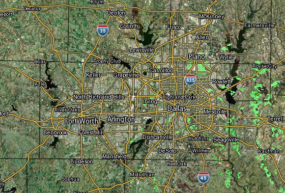 Interactive Radar | 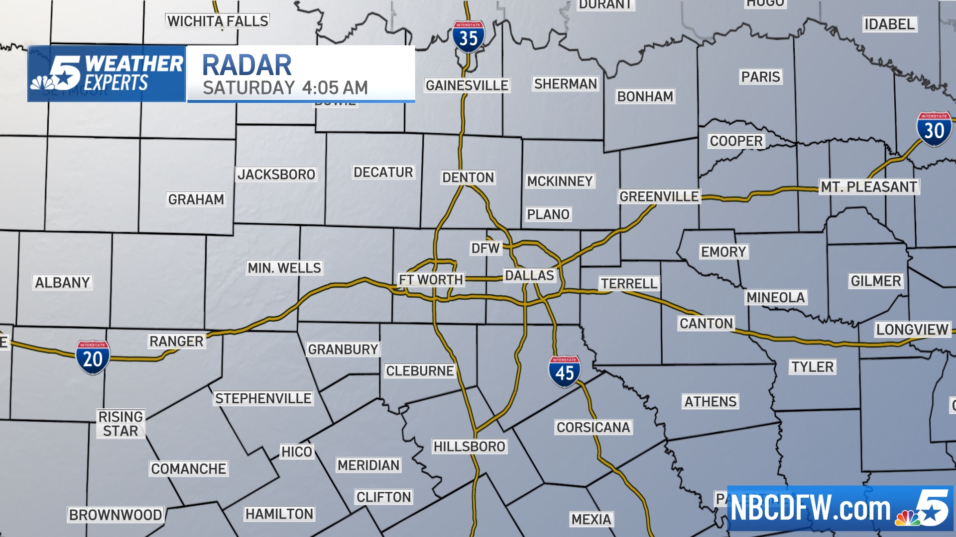 NBC 5 S-Band | 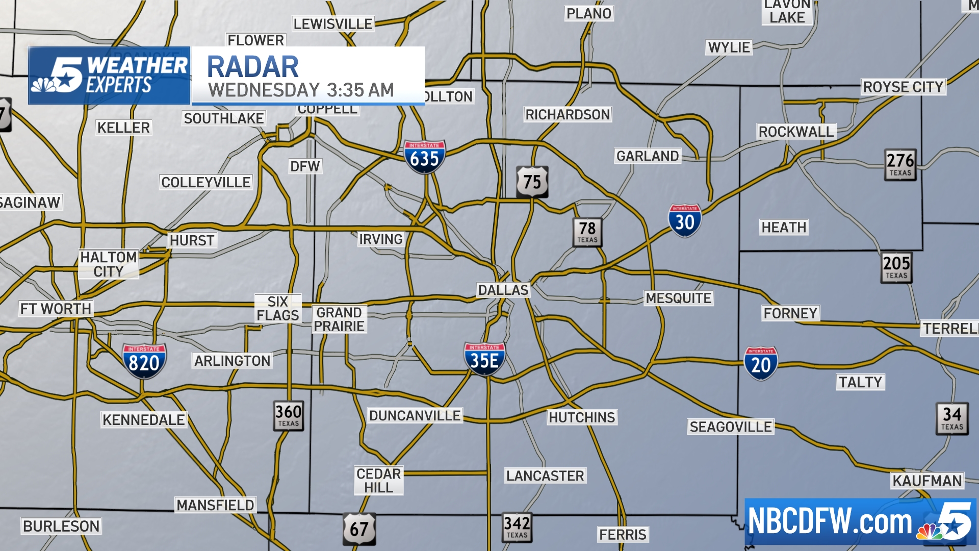 Dallas County |  Tarrant County |
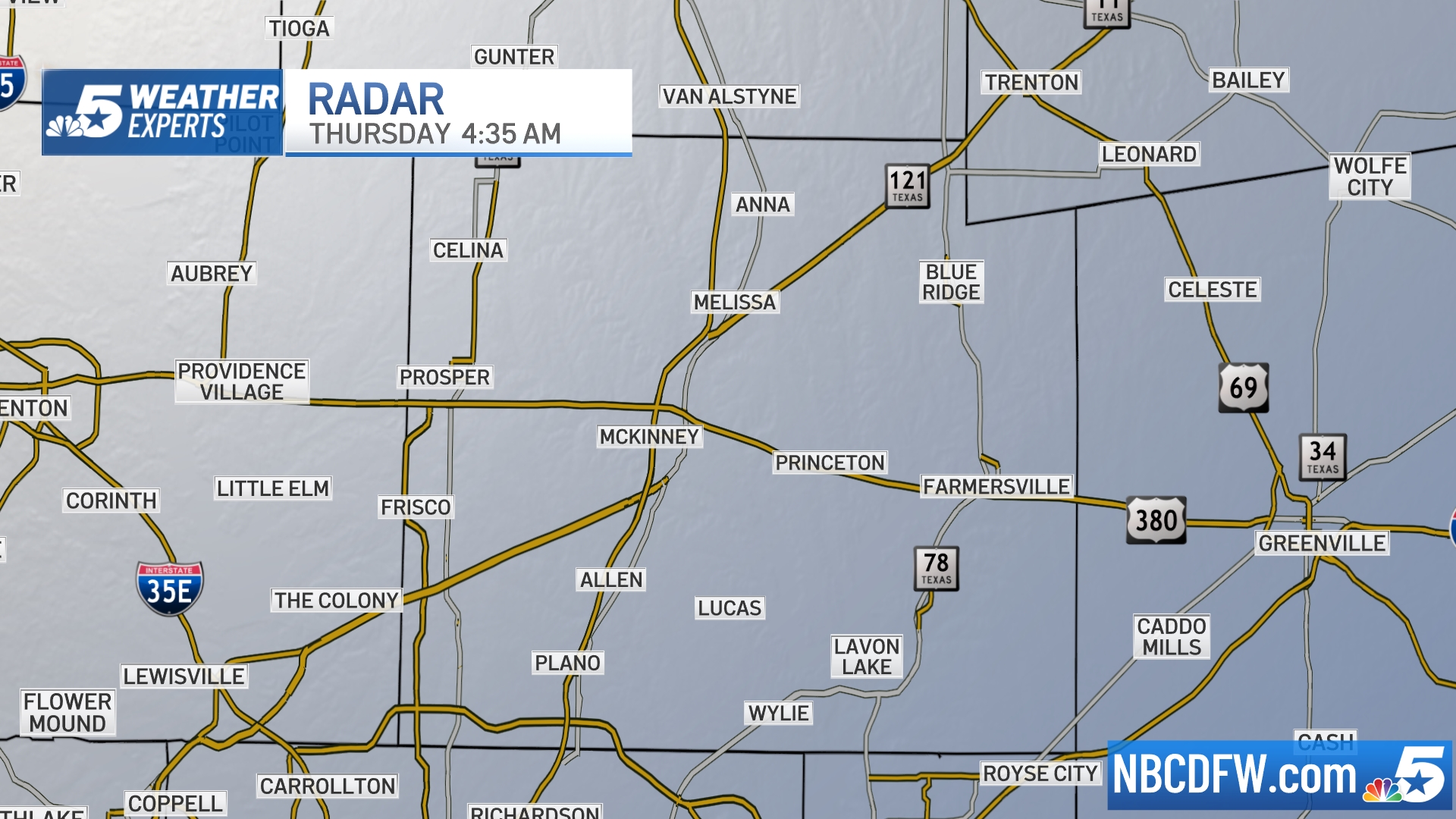 Collin County | 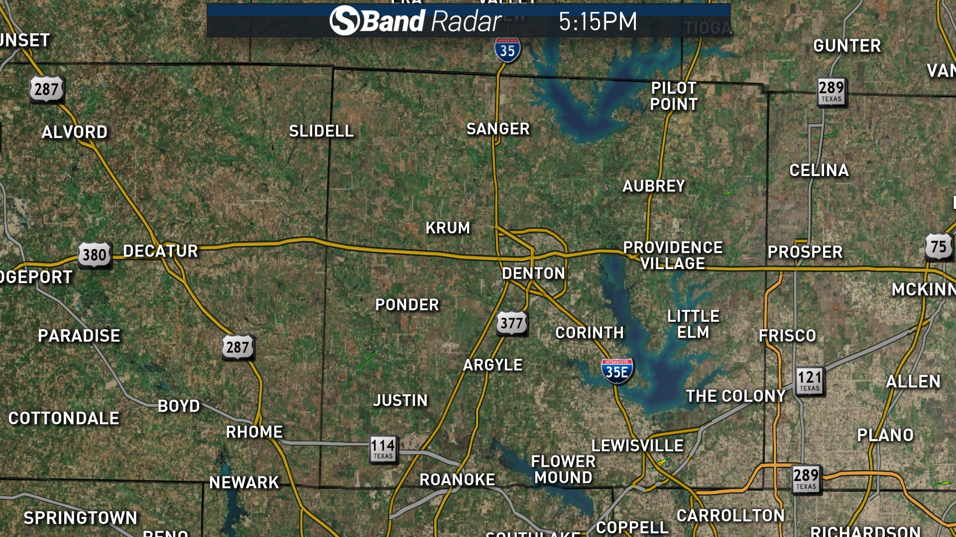 Denton County | 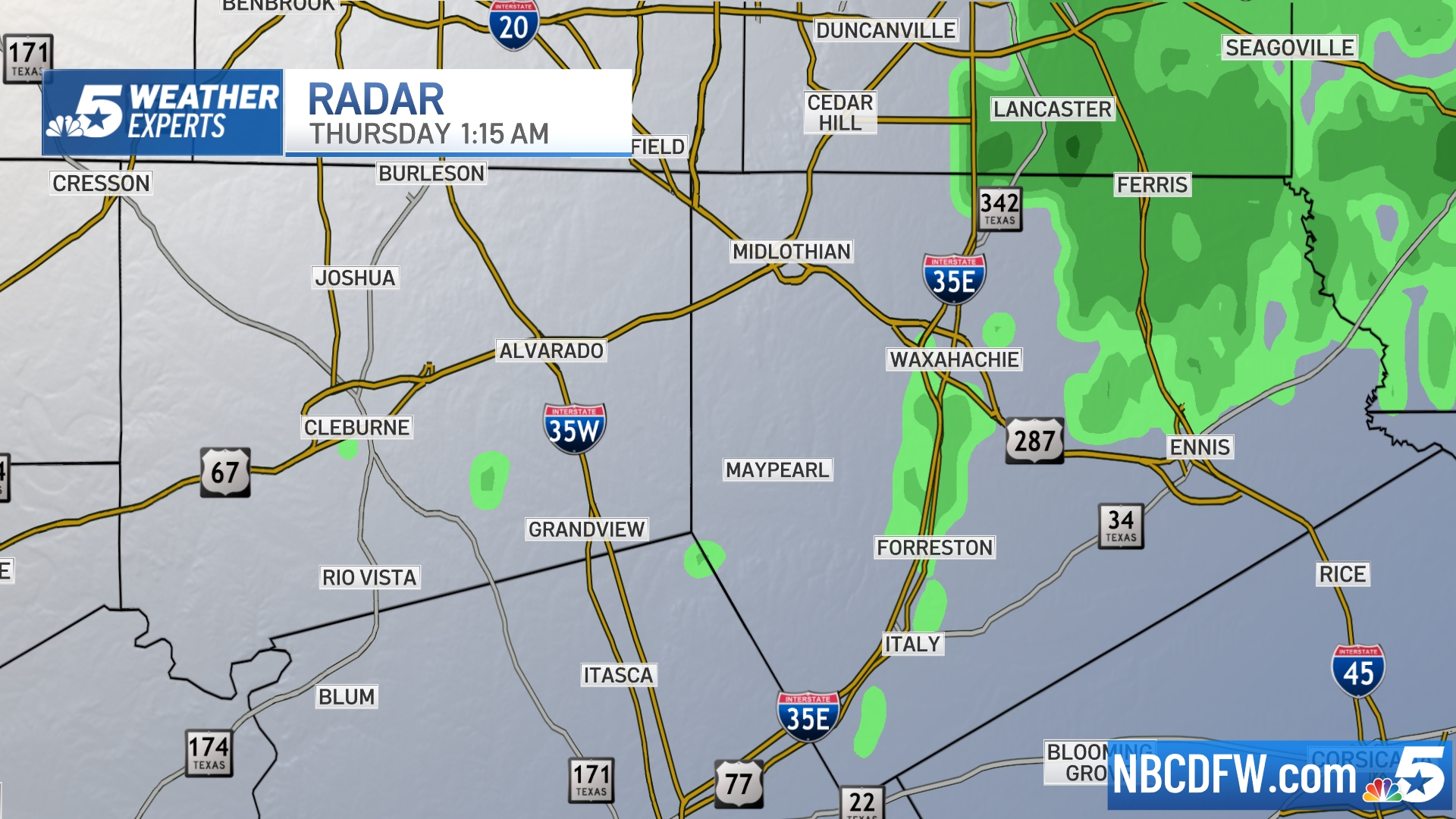 Ellis, Johnson Co. | 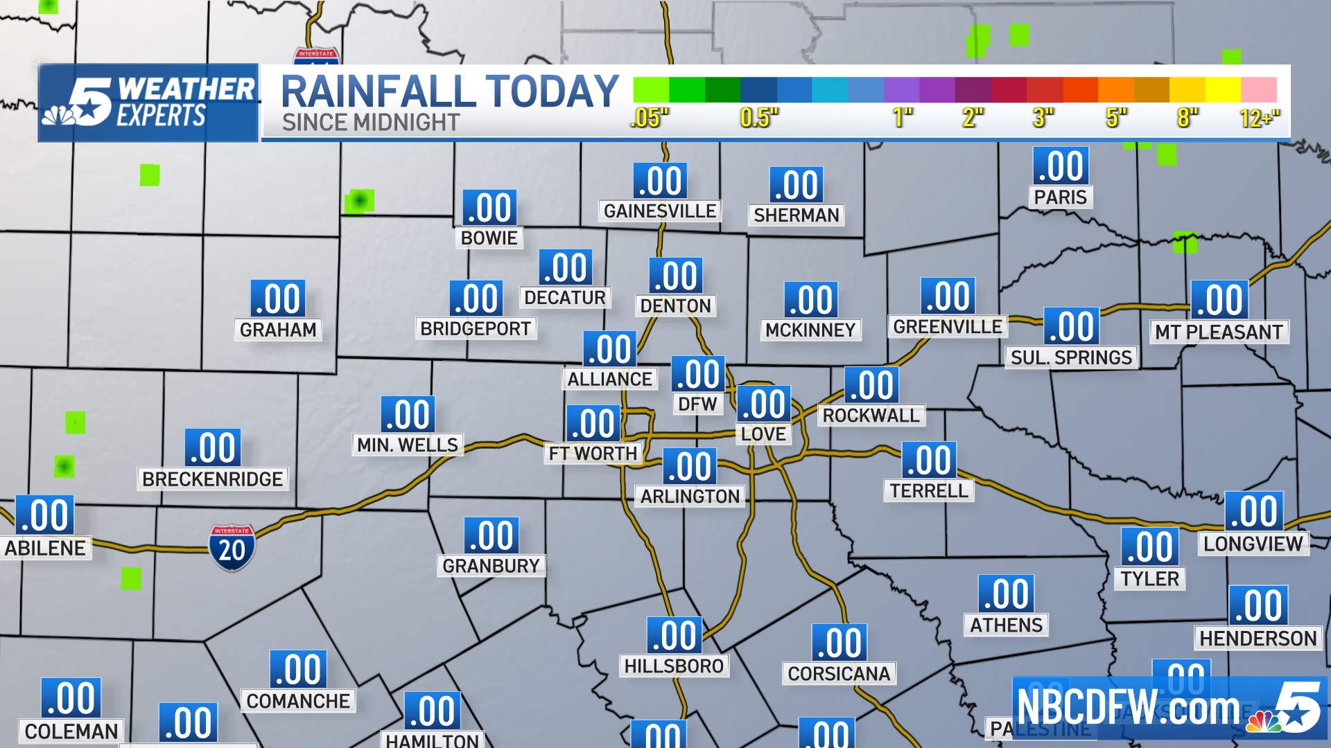 Rainfall Totals |


